


Electric Transmission Structure Risk Analysis
Upper Midwest
About the Project
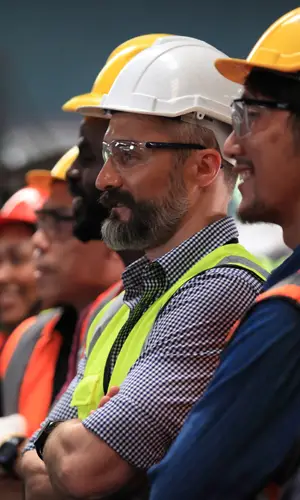
Basin Electric fills a critical role as an energy provider in the upper Midwest. There are many challenges associated with maintaining over 3,400 miles of transmission lines and over 16,000 structures spanning seven states. Basin Electric has witnessed a change in the soil stability and site suitability for many of their structures primarily driven by the increased presence of surface water, wetlands and floodplains, which all result in saturated soils failing to adequately support transmission line structures.
Project Details
Date: 2020 – 2021
Client: Basin Electric
Key Project Elements
- GIS Programming
- Mathmatical Models
- Risk & Asset Management
Proactively Planning
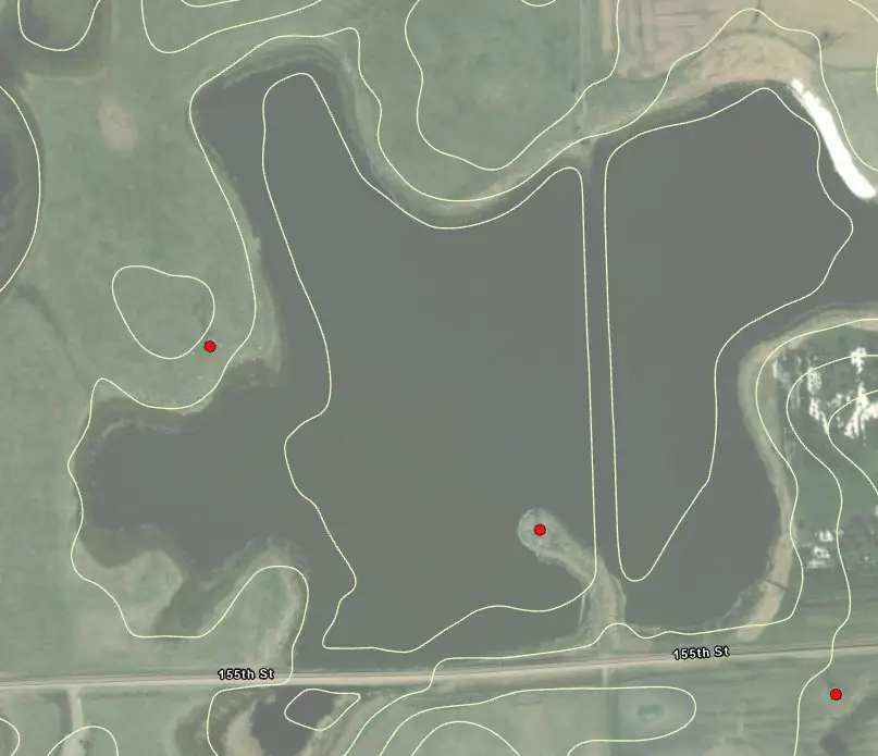
To proactively plan for the future, AE2S developed a risk model using scripting within ArcPy to prioritize which transmission structures are in danger of becoming structurally compromised. The risk model analyzed the following spatial data sets to derive the risk calculations: Hydric Soils, Percent Clay, Drainage Class, Depth to Water Table, Ponding Frequency Class, Surface Water Management Class, National Hydrography Dataset, National Wetland Inventory, Surface Slope, and Closed Basin Analysis.
The closed basin analysis required the development of a complex algorithm that samples LiDAR elevation data, identifies closed basins or depressions, and calculates the volume of water that would be required to flood the basin before it would reach the elevation of the transmission structure.
For each of the criteria identified, classifications were developed with scores representative of the relative risk each component added to the overall risk of structural compromise. Weighting factors were developed with input from Basin Electric to calibrate the model to observed field conditions.
An ArcGIS online web map was developed to illustrate the results of the analysis as well as the various data sources driving the risk assessment. This allows Basin Electric to review the results without the need for an Esri license or software.
The results of the risk analysis are being used to prioritize stabilization projects for at risk transmission structures.